In the last decade MOLA published over 90 academic and popular books and manuals, and has developed processes to ensure the highest standards. Publications include both English Heritage- and developer-funded work but have been joined by significant work for other clients, who are using MOLA as a publishing outlet for their own work.
MOLA's Monograph and Studies Series have in general developed a common structure: an introduction; a chronological narrative describing the site sequence interwoven with the specialists’ evidence; thematic chapters; conclusions; and appendices with supporting data which cater for the specialist reader; these data are supplemented by CD-ROMs and online resources. The integrated approach requires a high level of collaboration and dialogue among the project team, and a focus on strong research aims within regional and national research frameworks and strategies. The research aims are set out before fieldwork begins and are revised at the assessment stage. This approach is underpinned and facilitated by their in-house team, supplemented by experts based in academic institutions. It also requires high levels of IT expertise in their developing relational database and geographic information system (GIS). Quality assurance is essential, supported by MOLA's in-house Managing Editor. Finally the graphics and photography teams ensure high-quality illustrations and products that convey information with maximum clarity. The success of the integrated approach and the quality of the publications is conveyed in many positive reviews written by peers in archaeological journals and news items. As well as the many books MOLA also submit numerous articles to local, regional and national peer-reviewed journals. These papers are just as important to the publisher and their clients, and deliver the results of archaeological work to the target audience as required by both client and curator.In the last decade MOLA published over 90 academic and popular books and manuals, and has developed processes to ensure the highest standards. Publications include both English Heritage- and developer-funded work but have been joined by significant work for other clients, who are using MOLA as a publishing outlet for their own work.
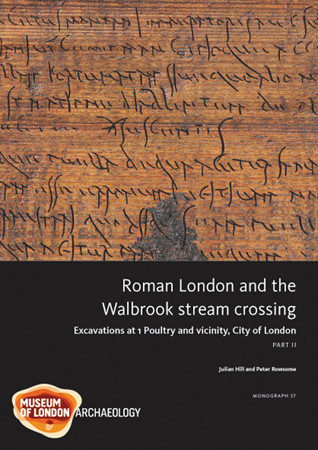
Format: Hardback
Pages: 592
ISBN: 9781907586040
Pub Date: 15 Aug 2011
Series: MoLAS Monograph
Description:
The site of 1 Poultry, excavated in the 1990s, is located near the Bank of England in the heart of the City of London. It lay immediately west of the point where the main east-west road through Roman London bridged the Walbrook stream and proved to be one of the most significant archaeological sites ever excavated in the City, with an unparalleled sequence of buildings, roads and open spaces. A timber drain of AD 47 beneath the main road is the earliest, securely dated structure yet known from Londinium and a pottery shop destroyed in the Boudican revolt gives a snapshot of life in AD 60/61.
A 2nd-century AD writing tablet preserves the only evidence for the sale of a slave found in Britain to date, while the 3rd- and 4th-century buildings on the site provide a rare demonstration of the continuities and changes that occurred in Roman urban life. The key sequence from 1 Poultry provides the majority of the evidence but is augmented by findings from Docklands Light Railway sites at Bucklersbury, Lothbury and Lombard Street and other work at 72-75 Cheapside, 76-80 Cheapside, 36-37 King Street and Mansion House. Together, the sites provide a comprehensive record of the development of Londinium over the entire Roman period.
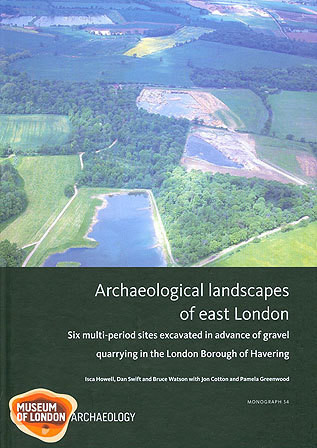
Format: Hardback
Pages: 144
ISBN: 9781907586002
Pub Date: 15 Apr 2011
Series: MoLAS Monograph
Description:
Six multi-period archaeological sites investigated in advance of gravel extraction in the London Borough of Havering between 1963 and 1997 form the basis of a landscape history of the Rainham and Upminster area. Residual Mesolithic finds from the study area include an adze. The first significant activity locally was an Early Neolithic ring ditch, which remained in use for about a millennium.
During the Bronze Age the area was transformed by extensive woodland clearance and the creation of rectilinear fields and scattered farmsteads. The Iron Age saw more intensive landscape utilisation and settlement. About the time of the Roman invasion two farmsteads were fortified. A waterhole from one of these farmsteads revealed a large pottery assemblage dating to c. AD 60-70, showing a low level of Romanisation and few imported wares. A number of farmsteads were continuously occupied throughout the Roman period until after c. AD 370. The presence of Early Saxon activity at some sites suggests either continuity of occupation or only a short period of abandonment. These scattered Saxon farmsteads were probably abandoned during the Late Saxon period, when the rural settlement pattern generally changed to nucleated villages. Significant medieval remains include a farmstead and a manorial enclosure.
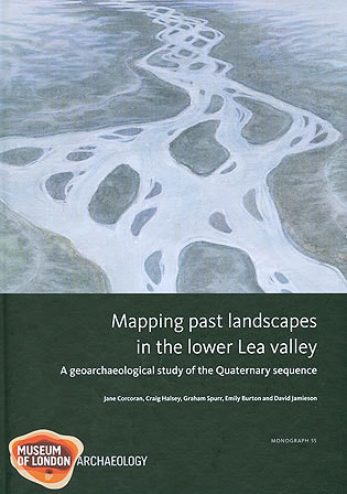
Format: Hardback
Pages: 208
ISBN: 9781907586019
Pub Date: 15 Apr 2011
Series: MoLAS Monograph
Description:
Archaeological evidence is enriched when it is viewed against the backdrop of its natural landscape setting. This setting is not readily apparent in the lower Lea valley, where evidence for the natural topography has been cut away by quarrying and reservoir construction or buried by metres of alluvium and modern made ground. The Lea Valley Mapping Project, funded by the Aggregates Levy Sustainability Fund, has taken a geoarchaeological approach to reconstructing the past landscape and its relationship to archaeological distributions by using existing borehole information to model the buried topography and past environment of the lower Lea valley from the M25 to the confluence of the Lea and the Thames.
The results place the known archaeology within its past landscape context and also predict the archaeological potential of the study area, which readers can investigate by referring both to the maps in the monograph and to the accompanying gazetteer. They can also download the interpreted geo-referenced datasets produced for the project from the ADS website. This book will be an indispensable guide not only for those wishing to know the archaeological potential and past landscape characteristics of the lower Lea valley but to anyone proposing to investigate the buried landscape in other river valleys or wanting an introduction to Quaternary deposits, environments and landscape processes in Greater London.
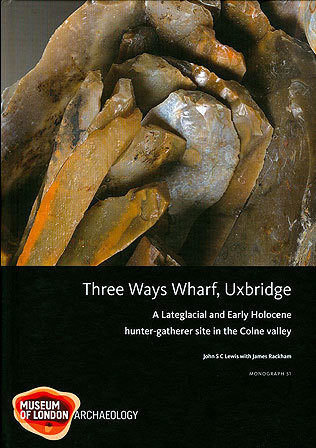
Format: Hardback
Pages: 226
ISBN: 9781901992977
Pub Date: 15 Dec 2010
Series: MoLAS Monograph
Description:
This eagerly awaited volume documents the evidence for human activity in the Colne valley at Three Ways Wharf, Uxbridge in the Lateglacial and Early Mesolithic periods. A series of five in situ lithic and faunal scatters, centred on hearth settings on local high points within the valley floor, belong to two main phases of hunter-gatherer activity. The earlier phase, characterised by Lateglacial bruised-edge 'long blades' of the north German Ahrensburgian technocomplex, associated with reindeer and horse, is dated to c 10,000 BP.
The succeeding Early Mesolithic phase is typified by broad, obliquely backed flint points, associated with a fauna dominated by red and roe deer, and dated some 800 radiocarbon years later at c 9200 BP. Detailed analyses of the important faunal and lithic assemblages, bolstered by an extensive refitting programme, have been fully integrated to provide new and striking behavioural explanations. These hunter-gatherer groups can now be seen as groups of people intent on pursuing their own independent and socially defined goals, and no longer solely in terms of their adaptive responses to environmental pressures. Three Ways Wharf will come to take its place alongside other iconic sites of the period such as Star Carr, Broxbourne and Thatcham.
Format: Hardback
Pages: 295
ISBN: 9781901992960
Pub Date: 12 Dec 2010
Series: MoLAS Monograph
Description:
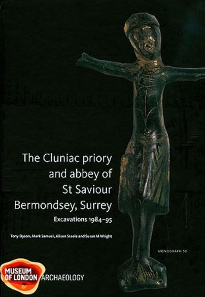
Bermondsey Priory was founded in the 1080s on the south bank of the Thames, located opposite the White Tower on an island which was also the site of an Anglo-Saxon minster. Bermondsey became a centre of pilgrimage and in 1399 the priory became an abbey, before its transformation in the 16th century into a courtier's mansion. The results of modern excavation of the eastern parts of the church and cloister and inner court are complemented by documentary research and a detailed, 19th-century survey of the abbey.
The early chapel and timber latrine and the free-standing lavabo in the main cloister and possible bathhouse are particularly important features of this Cluniac house. The 12th-century building programme and the subsequent remodelling of the priory church and cloister, including the east range and chapter house, and of the second infirmary cloister are examined. The development of the monastic cemetery is described and 193 individuals buried at Bermondsey are analysed. Contraction and disuse of part of the eastern area in the abbey's final years was followed by the discarding of a wealth of artefacts and other material from the conventual buildings and by systematic stripping at the Dissolution. The private Tudor mansion constructed by Thomas Pope around the former main cloister reused parts of the monastic buildings
Format: Hardback
Pages: 368
ISBN: 9781901992953
Pub Date: 15 Nov 2010
Series: MoLAS Monograph
Description:
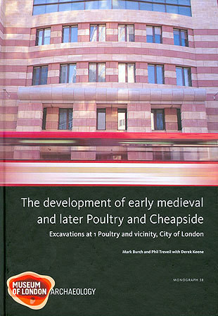
One of the largest excavations in the City of London at 1 Poultry recovered a remarkable archaeological sequence from the 1st to the 20th century AD. This volume presents the evidence for Late Saxon, medieval and post-medieval development of this part of the city. Poultry occupied a prominent position at the eastern end of Cheapside, the city's principal medieval market street; integrating documentary evidence with the archaeological record has provided an outstandingly detailed account of this area.
Re-occupation of the site in the later 10th century began with the construction of scattered sunken-floored buildings; a more regular pattern of settlement, characterised by narrow-fronted timber buildings along the roadsides, developed by the early 11th century. Occupation became progressively denser up to the 13th century when large stone-built houses began to be built in previously open areas behind the street frontages. Metalworking evidence from the excavated buildings provides evidence of early economic activity, corresponding with later documentary evidence for smiths, ironmongers and other metalworkers in the area.
Format: Hardback
Pages: 320
ISBN: 9781901992939
Pub Date: 10 Oct 2010
Series: MoLAS Monograph
Description:
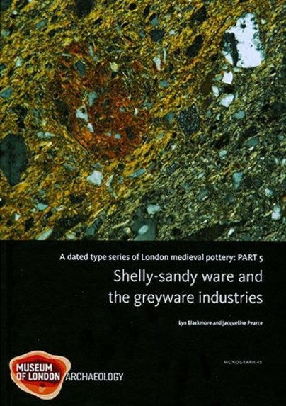
An essential survey for all interested in the pottery of the London area, this study charts the development, peak and decline of two ceramic traditions: the shelly wares of c 1140–1220, mainly city-based but reaching Scotland and across the North Sea to Norway, and the greywares of c 1170–1350, widely used in the city and even more so in its hinterland. In addition to fabric analyses, form typologies, a gazetteer of find spots and scientific data, the study includes a summary of greyware production centres, and considers function, use, marketing of medieval pottery and the chronology of selected consumer sites in London and its region.
Format: Hardback
Pages: 140
ISBN: 9781901992892
Pub Date: 30 Apr 2010
Series: MoLAS Monograph
Description:
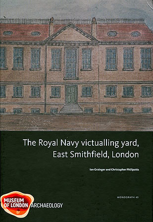
The Royal Navy victualling yard was excavated in 1983-8 as part of the Royal Mint site. Founded in 1560, on the site of a Black Death cemetery and the suppressed Cistercian abbey of St Mary Graces, it was the first large-scale naval food supply base in Britain and remained the principal one until the 18th century. The yard closed in 1785, having proved inadequate for the needs of the expanding Georgian navy.
A substantial part of the ground plan of the yard was recorded, including salt houses and pickling sheds, slaughterhouses and yards, bakeries, coopers workshops, storehouses, and the offices and dwellings of yard personnel. The evidence suggests that food processing was increasingly industrialised from the late 17th century onwards. The excavated remains are compared to the substantial documentary evidence available, particularly two detailed plans of 1635 and 1776. The success and ultimate failure of the yard as a supply depot is assessed, including the extent to which former abbey buildings were reused by the navy and the deleterious effect this had. The work reported on here represents the most extensive excavation and post-excavation analysis of an early post-medieval naval victualling establishment in this country.
Format: Paperback
Pages: 64
ISBN: 9781901992878
Pub Date: 22 Jan 2010
Illustrations: col illus
Description:
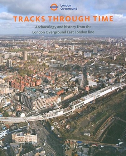
The East London Line Project presented a unique opportunity, as structures were demolished and cleared for London's latest railway, to discover more about some of London's earliest railways. This included previously undiscovered parts of one of the world's first operational passenger railways, the Eastern Counties of 1840. The new construction led to important archaeological discoveries, particularly at the site of Holywell Priory and beneath Bishopsgate Goods Yard in Shoreditch.
The sparsely occupied hinterland of Roman London either side of Roman Ermine Street was used for occasional burials. Gradual medieval development came with the foundation of Holywell Priory on one side of Shoreditch High Street, contrasting with the outskirts of the village of Shoreditch lining the other, with open fields to the east. The growth of early post-medieval occupation, notably the earls of Rutland's Tudor mansion on the site of the priory, followed the Dissolution. The spread of the suburbs from the 17th century onwards encouraged large-scale quarrying of brickearth and brickmaking on the expanding periphery of new settlement, east of Shoreditch High Street. By the mid 18th century the character of the area had completely changed and it was covered with suburban housing. In the early 19th century, the railway cut through the area and continued to develop and expand throughout the century.
Format: Paperback
Pages: 850
ISBN: 9781901992861
Pub Date: 10 Nov 2009
Description:
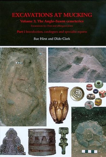
The Anglo-Saxon cemeteries at Mucking, Essex, represent the burials of over 800 individuals from the 5th to early 7th centuries. This long-awaited report includes detailed illustrated catalogues in Part i, and comprehensive analysis and discussion of the burials, their relation to the excavated settlement evidence and wider context, in Part ii. The mixed rite Cemetery II is one of the largest and most complete Anglo-Saxon cemeteries yet excavated (282 inhumation burials, 463 cremation burials), while the partly destroyed Cemetery I included further significant inhumations.
The quality and quantity of the evidence from graves of the first half of the 5th century, with cultural affinities primarily with the Elbe-Weser area, is unsurpassed. By the later 5th and the 6th century the cemetery was primarily 'Saxon' in character, but with some Anglian and eastern Kentish influences; Frankish (and in one case Alamannic) artefacts were also found. The dating is based on seriation analysis of the inhumation artefact assemblages and is combined with an innovative maximisation of demographic data from soil silhouettes and important evidence for coffin structure and costume. Mucking can now be seen as a particularly extensive Anglo-Saxon settlement, of at least 100+ individuals, commanding an important strategic position in the Lower Thames region; it may have functioned as a meeting place and mart for surrounding areas on both sides of the Thames.
Format: Hardback
Pages: 240
ISBN: 9781901992830
Pub Date: 14 Apr 2009
Series: MoLAS Monograph
Description:
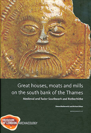
Regeneration in the 1980s-90s on the south bank of the Thames resulted in archaeological and historical investigations at Platform Wharf, Rotherhithe, and next to London Bridge, in Southwark. The development of both sites from the 14th century is of major interest. The Rotherhithe property was acquired c 1349 by Edward III and the existing house rebuilt by him in 1353-61 with two courts, including a riverside range of apartments.
Royal interest ceased after Edward's reign, and the house passed to Bermondsey Priory in 1399. The fragmentation of the site into smaller properties, including ones with industrial uses, is charted. The Southwark site contained three notable residences during the medieval period and tidal mills on the waterfront. The 14th-century moated house of the Dunley family and a pleasure-house built by Edward II, the Rosary, were both acquired by Sir John Fastolf for his own grand London residence in the 1440s. In the later 16th century there was massive immigration into this part of Southwark and by the mid 17th century the former moats and gardens were built over with small properties and alleys. The moat infills produced exceptionally rich assemblages of domestic artefacts and ceramics, the waterside location preserved a wide variety of plants, timber structures and woodworking evidence.
Format: Paperback
Pages: 74
ISBN: 9781901992816
Pub Date: 14 Mar 2009
Series: MoLAS Archaeology Studies Series
Description:
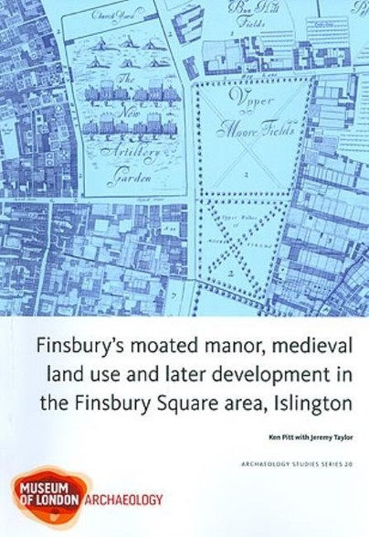
Archaeological investigations at seven sites within the Finsbury Square area have revealed important evidence for the medieval and post-medieval development of this former marshy area north of the city walls. At 127-139 Finsbury Pavement, quarry pits may relate to the development of the 12th- to early 13th-century Finsbury manor house, documented from 1272. Features identified within the manor include a gravel courtyard and the fragmentary remains of a building with masonry foundations.
A moat existed to the east of the manor house by the 14th/15th centuries, but was backfilled by the end of the 17th century and then built over. Beyond the manor, widespread quarrying and brick manufacturing occurred during the later 15th century. At 27-30 Finsbury Square, large quantities of leather waste may have been dumped in the 15th and 16th centuries from nearby workshops. Quarrying continued on several sites into the late 16th century. A gravel surface and a boundary wall at the Honourable Artillery Company site represent the enclosure of the area to the north of the manor as the New Artillery Ground in the 1640s. A brick flue and a saw pit at 25-32 Chiswell Street reflect the increasingly industrial nature of the area to the west of the New Artillery Ground during the 18th and 19th centuries which is indicated on contempoary maps.
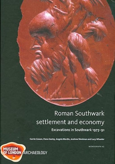
Format: Hardback
Pages: 280
ISBN: 9781901992786
Pub Date: 14 Feb 2009
Series: MoLAS Monograph
Description:
This report presents an overview of Roman urban development in London south of the Thames. The establishment of the Roman bridge and the first approach roads and landing places, made Southwark an ideal location for the development of facilities for the trans-shipment of goods between land and river. The wide range of data from 41 previously unpublished north Southwark sites provides the means for 'mapping' Roman activity in Southwark: the nature of the early settlement, changing patterns of land use and broader processes of social and economic change.
Early land reclamation preceded the establishment of a thriving trade centre involved in the redistribution or marketing of locally processed and imported goods, with evidence of a concentration of buildings burnt in Boudican fire of AD 61 along the main road to the bridgehead. Increased land reclamation and construction of more masonry buildings in the 2nd century AD indicate further growth. By the 3rd century large stone buildings at ten of the sites reported suggest an administrative area housing official residences. After the mid 4th century the settlement contracted to the area immediately around the bridgehead with a cemetery on previously occupied land to the south.
Format: Hardback
Pages: 240
ISBN: 9781901992717
Pub Date: 14 Dec 2008
Series: MoLAS Monograph
Description:
The discovery of one of Roman Londons most significant buildings - its amphitheatre - underneath the medieval Guildhall resulted from major archaeological excavations which took place between 1985 and 1999 as part of the City of London Corporations ambitious programme of redevelopment at the Guildhall. The history of the Guildhall and its precinct from the 12th to the 20th centuries is the subject of a companion volume. This book describes the construction, development and disuse of the amphitheatre, from the 1st to 4th centuries AD.
Constructed on relatively low ground in the north-west part of Londinium, the first amphitheatre was built in c AD 74 of timber. Evidence was recovered for the eastern entrance, arena palisade, bank for seating and associated drains. The amphitheatre was rebuilt shortly after AD 120, with masonry foundations and walls, associated with new timber stands. The evidence allows conjectural reconstruction and comparison with other British amphitheatres. Abandoned by the mid 4th century, the amphitheatre was largely demolished and sealed by dark earth. The arena may have survived as an oval depression until the area was reoccupied in the 11th century. Significant finds assemblages include an early 2nd-century dump of glass cullet, lead curses from the arena surface and samian pottery with gladiatorial motifs. The amphitheatres remains are preserved and displayed in the basement of the new Guildhall Art Gallery.
Format: Hardback
Pages: 240
ISBN: 9781901992779
Pub Date: 12 Nov 2008
Series: MoLAS Monograph
Description:
Until now the evidence for London's Early and Middle Saxon rural settlement and economy has received scant attention. This monograph provides a long-awaited overview of the subject, drawing on the results of six decades of archaeological fieldwork since the war, in addition to historical and place-name evidence. Some of the material has been published before and will be familiar to the reader, but much of it has only been available as site archives or unpublished reports, and at best briefly summarised as notes in excavation round-ups.
This synthesis therefore forms an indispensible guide to researchers. The first part focuses on twenty-six sites and six fish traps across the region, followed by thematic sections on a range of topics, and then a final section on the pottery finds.
Format: Hardback
Pages: 172
ISBN: 9781901992793
Pub Date: 12 Nov 2008
Series: MoLAS Monograph
Description:
St Marylebone parish grew from humble beginnings on the city's margins to become, in the 18th and 19th centuries, one of the wealthiest in London, home to the elite and fashionable. The small parish church on Marylebone High Street, built in brick in 1742 on the site of the medieval church, was inadequate for such a congregation and was superceded in 1817 by today's far grander edifice on Marylebone Road. Archaeological investigations in 1992 showed that the graveyard - levelled in the 1930s for a playground for St Marylebone Church of England School for Girls - lay substantially undisturbed beneath the playground.
In 2004 plans to build an underground sports hall allowed excavation of a sample of the burial ground and part of the church itself. Most of the 350+ burials recorded were from the graveyard; some were in family vaults and others inside the church crypt. The archaeological results and detailed osteological analysis of 301 individuals are combined with documentary research into the parish and its population, including the woman who preferred parrots to men, the artist who died of lockjaw and the Reverend headmaster and his 'most wicked and abandoned wife'. This volume is one of the largest and most comprehensive studies of a post-medieval London cemetery.


