East Anglian Archaeology is an academically refereed series providing an outlet for reports from the East of England – Norfolk, Suffolk, Essex, Cambridgeshire, Hertfordshire, Bedfordshire. The first East Anglian Archaeology report was published in 1975 and new titles are still appearing every year.
Format: Paperback
Pages: 97
ISBN: 9781904452300
Pub Date: 31 Dec 2008
Series: East Anglian Archaeology Monograph
Illustrations: b/w and col illus
Description:
This is the first study of a newly recognised pottery type, Ely ware. The first part of the report details excavations in Potters Lane Ely. The second widens the net, identifying Ely ware from other excavations in Ely and the surrounding area.
The pottery dates from the 12th to the 15th centuries with three recognisable periods within this emerging. The report provides petrological and macroscopic description of Ely ware fabrics, and a well illustrated catalogue of different vessel forms and styles.
Format: Paperback
Pages: 126
ISBN: 9780905594453
Pub Date: 31 Dec 2007
Series: East Anglian Archaeology Monograph
Illustrations: b/w figs, pls, tbs
Description:
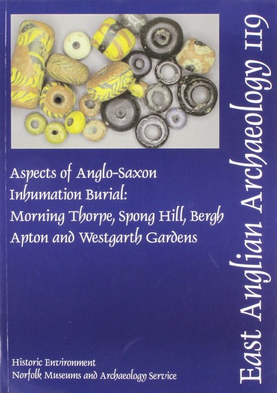
Oxbow says: Excavated in the 1970s, the sites of Morning Thorpe, Bergh Apton and Spong Hill in Norfolk and Westgarth Gardens in Suffolk, have only previously been published as catalogues. This volume aims to discuss the evidence from these four cemeteries in more general terms to gain insights into Anglo-Saxon social structure. Containing approximately five hundred inhumations, dating from the mid-5th to 7th century, the burials contain a wealth of artefacts which are used to establish a chronology and trace changes in material culture and burial practice over time.
Issues of weapon and dress accessory deposition, as well as gender and status, are discussed as the authors examine how wealth and status differences may have manifested themselves among the communities that were buried in these cemeteries.
Format: Paperback
Pages: 95
ISBN: 9780954482459
Pub Date: 31 Dec 2007
Series: East Anglian Archaeology Monograph
Illustrations: b/w figs
Description:
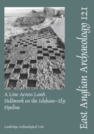
Construction of a water supply pipeline in Cambridgeshire provided an opportunity to sample the prehistoric landscape along a transect that crossed several major geological boundaries. This narrow window ran from the Lower Chalk of the ancient peninsula of Isleham, across the heavy low-lying clays of Soham and down into the peat fen of Stuntney and south-east Ely. Within the constraints set by the development, field investigation and subsequent analysis were conducted at several scales.
In the initial stage, attention focused on predicted occupation areas (principally at the fen margins), while the intervening landscape between these areas and known sites was sampled. Along with palaeoenvironmental data, samples of flint, burnt flint and other materials provided a context within which to explore specific models for interpreting the character of later prehistoric landscape occupation across a diverse set of conditions. As a consequence of landscape sampling, six significant site areas were designated for archaeological investigation. These were located at the neck of the sand and chalk peninsula of Isleham, extending down its gradually sloping western edge towards the braided palaeochannels of the River Snail. This occupation-rich zone on the chalk contrasted sharply with areas of the fen that showed little evidence of early occupation where crossed by the pipeline. Two of these sites saw more extensive fieldwork funded by English Heritage, and these form the main body of the report. These different scales and intensities of work in the field are reflected in the structure of the report. The extensive survey and evaluation is dealt with in Chapter 2 and provides a full record of work conducted along the length of the pipeline corridor. Chapter 3 documents the more limited investigations conducted at four of the site areas identified in stage 1. The core of the volume lies in Chapters 4 and 5, which deal with the more substantive records arising from work at Prickwillow Road and around the palaeochannels of the River Snail. Dominated by Early Bronze Age and Earlier Neolithic material respectively, these sites add a significant body of information to our understanding of the later prehistoric sequence in the area, data which are set in broader context in Chapter 6.
Format: Paperback
Pages: 101
ISBN: 9780905594446
Pub Date: 31 Dec 2006
Series: East Anglian Archaeology Monograph
Illustrations: 17 b/w and col pls
Description:
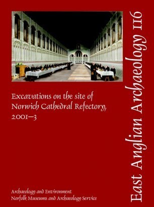
A campaign to improve visitor and education facilities at Norwh cathedral involved the construction of new buildings within the west and south ranges of the cloister, and led to excavation of the area where the medieval refectory once stood. This revealed archaeological evidence of the Late Saxon, medieval and post-medieval periods and forms the subject of this report. Excavation has confirmed the long-held supposition that this area of Norwich was populated during the Late Saxon period.
Timber buildings of both post-hole and beam slot construction were present, along with rubbish pits, many very substantial in size. A rutted trackway developed into a metalled road, its discovery adding to the ever-evolving street plan of Late Saxon Norwich. It was also apparent that this area was subject to changes in the local water table, and liable to flooding. Late Saxon occupation here was brought to a sudden halt by the acquisition of the land for the building of the Norman cathedral in the latter years of the 11th century. The refectory, which has been described as one of the most magnificent in Europe, was built during the 1120s but was largely demolished during the years following the Dissolution. An extensive programme of groundworks was carried out in the 12th century, prior to construction of the refectory, with the area being levelled. Unfortunately, later use of the area has destroyed most of the evidence relating to the refectory itself. Despite this the level of the floor was established and footings for opposing engaged pillars were recorded. These would have supported an arcade, separating the high end from the main hall. Following the Dissolution, not only the refectory but many of the conventual buildings were demolished. In the period from 1538 to 1620 large pits were dug across the site of the former refectory and used for the dumping of demolition debris on a massive scale. Surprisingly, of the identifiable rubble very little originated from the refectory building itself. Architectural fragments, including some with painted designs from the infirmary and chapter house, were found along with painted window glass which probably originated from the Lady Chapel. In 1620 the western third of the site was the location for part of a prebendary's house, the remainder being established as a garden. In 1873, works undertaken specifically to reduce the risk from fire included the demolition of the prebendary's house. 'Restoration' work was carried out to the remaining medieval structure and the area which had once served as the monk's refectory was left open as a garden plot. It remained so until archaeological work began in 2001.
Excavations at the Preceptory of the Order of St John of Jerusalem, Carbrooke, Norfolk
Format: Paperback
ISBN: 9780905594439
Pub Date: 31 Dec 2006
Series: East Anglian Archaeology Occasional Paper
Illustrations: p, 8pls, 34figs
Description:
Carbrooke Preceptory was first established in 1173 through a grant from Matilda, Countess Clare, to the Order of St John of Jerusalem. Eighteen manors in Norfolk were eventually in their possession, all administered from Carbrooke, which remained the only preceptory in the county at the Dissolution. In addition, rents and tithes were due from a large number of locations throughout Norfolk and East Anglia, and voluntary contributions were also collected, in keeping with the role of the preceptory as a revenue-generating institution converting agricultural wealth to portable wealth.
The preceptory along with the rest of the Order was suppressed by Parliament in 1540. Excavation revealed a stratified sequence of structures and deposits on the western side of the preceptory. Insights into the architectural and social history of the establishment resulted from a combination of archaeological and documentary research, the activities of the inhabitants of Carbrooke seeming, both through the material and documentary records, to bear more resemblance to those of a large baronial house than a monastery.
Format: Paperback
Pages: 205
ISBN: 9780952061625
Pub Date: 31 Dec 2005
Series: East Anglian Archaeology Monograph
Illustrations: some b/w illus
Description:
A long-term, low-cost rescue project was undertaken in response to gravel quarrying at Maxey between 1983 and 1990. Throughout, the archaeological focus was the more or less concurrent excavation taking place at the Etton causewayed enclosure, a site which was effectively a central point within this part of the lower Welland valley. The Etton Landscape consists of the relict river systems, former floodplain and lowermost parts of the Welland First Terrace gravels between the modern villages of Maxey, Etton and Northborough.
Situated on the fringe of this seasonally wet landscape was a series of later Neolithic and Bronze Age monuments and more enigmatic areas of occupation. The principal monuments, other than the Etton causewayed enclosure, were three small henges which exhibited several phases of re-modelling, a C-shaped enclosure, the Etton Woodgate contour ditched enclosure and associated settlement, and four barrows (out of many more that are in the vicinity). The occupation areas were relatively few and ephemeral, often only consisting of a spread of occupation or midden material within the buried soil, a few post-holes and/or pits in no apparent pattern or structure. There is also evidence of field demarcation on the floodplain edge in the later Neolithic. All of these sites straddled the period of later use of the causewayed enclosure, in the third millennium and early second millennium BC. There seems to have been at this time a mosaic of old and new environments, ranging from old woodland to pasture and small zones of scrubby, fen-like carr, with the stream zones being affected by seasonal freshwater flooding and the minor deposition of silty clay alluvium. By the middle part of the second millennium BC, field systems laid out at right angles to the contemporary streams were in use, with successive versions of the same general layout continuing on into the Roman period. Throughout the last two millennia BC there was a gradual opening up of the landscape, on the face of it largely pasture, but probably with some arable cultivation on the higher and better drained ground. By the later Roman period, it appears that the area was more and more affected by the seasonal deposition of alluvium and overbank flooding, which led to the establishment of a loose and scattered layout of farmsteads and associated field systems on the higher parts of the first terrace. By medieval times, the higher parts of the terrace were completely given over to ridge and furrow cultivation, with villages established to the north and south, and the lowest zones occupied by infilled stream courses still remaining seasonally wet and possibly used as seasonal, unenclosed pasture. This more or less remained the case until 1953, when the enlargement of the Maxey Cut effectively drained the lowest parts of the terrace and permitted an expansion of arable agriculture onto the most thickly alluviated parts of the lower Welland valley between Maxey and the fen-edge.
Format: Paperback
Pages: 186
ISBN: 9780954482411
Pub Date: 31 Dec 2005
Series: East Anglian Archaeology Monograph
Illustrations: b/w figs, illus, pls
Description:
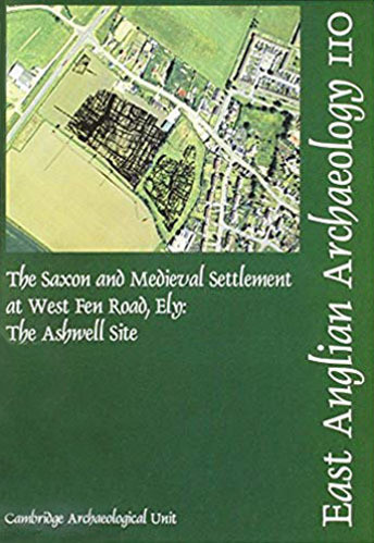
Excavations by the Cambridge Archaeological Unit in 1999 and 2000 on a housing development site off West Fen Road, to the west of Ely city centre, produced abundant evidence for Mid and Late Saxon and medieval settlement. Established in the early 8th century the site saw continuous occupation, often within the same ditched property boundaries, for almost 800 years, until its eventual desertion in the 15th century. A detailed reconstruction of the settlement history of the site indicates a very stable, but gradually evolving settlement which probably provided food and other services, originally to the monastic settlement, then to the abbey and subsequently to the bishops.
This report deals with a selection of the excavations within the area, and includes some details on the pre-Saxon background. Discussions on the buildings, enclosures and settlement sequence, as well as on the artefacts and environmental evidence form the main basis of the report.
Format: Paperback
ISBN: 9780951787816
Pub Date: 31 Dec 2005
Series: East Anglian Archaeology Monograph
Illustrations: p, 25pls, 95figs;
Description:
When a wealthy merchant built Dragon Hall in 1427 there had already been stone buildings on the site for 140 years, while the origins of settlement here lay in the period c. 9751025. Some of the buildings used by these first settlers were uncovered during the recent work at Dragon Hall, along with evidence for a small riverside community within an extra-mural Late Saxon suburb.
Until the mid 13th century the site comprised three properties engaged in small-scale craft and industry, alongside horticulture and keeping livestock. At this time there appears to have been little interest in the commercial possibilities of the nearby river. By the early 1300s, however, the site had passed into the hands of the professional and ecclesiastical elite. The earliest known document relating to the site is a deed from 1289 which records a land transfer between the Abbey of Woburn and a Norwich clerk, John Page. Both used the site to build substantial stone houses. One reason for the abbeys interest in the property was probably its situation between a river flowing through the great medieval herring town of Yarmouth and a cardinal road through Norwich providing an ideal base from which to process fish and dispatch them inland. The early 14th-century remnants of Pages hall house survive today within Dragon Hall. The two holdings were conjoined during the second half of the 14th century, when the site was unified by the Midday or Clere families. In the late 1420s an ambitious construction programme commenced, probably by local merchant Robert Toppe, which resulted in Dragon Hall itself. The hall house was substantially rebuilt, and its service end embedded within the new trading hall. The first floor of the new hall provided the huge open space within which to store and display goods, and an office above the former service rooms from which to conduct business. The circulation of visitors was carefully regulated: divisions between public and private space are signalled by the quality of workmanship on show. A road which had linked the Midday/Clere complex to the street and river was now blocked by the warehouse and terminated beneath the first-floor showroom. After Toppes death the complex passed into the hands of local gentry until, in 1619, the great holding began to be sub-divided. Some of the buildings, including the abbey of Woburn's stone house, were demolished, and others rose in their place. A metalworking shop was eventually built on the site of one of the Woburn buildings and by the mid-18th century parts of the hall house were being used as an inn (The Three Merry Wherrymen, later the Old Barge Inn). By 1935 the site housed at least 34 individuals. As the population of the site rose so the quantity and variety of their discarded pottery increased. The collection of early modern ceramics from the site is currently without national parallel. Much of this came from the inns, as did four commemorative clay tobacco pipes stamped God Bless King George. Post-war King Street was briefly prosperous but the dwindling commercial use of the river initiated a decline in fortunes until by the early 1990s almost all commerce and industry had gone. Ongoing regeneration of the street reflects renewed interest in inner cities. At the point when Dragon Hall is once again looking forward to a sustainable future it is perhaps auspicious to be offering the definitive account of the sites first thousand years.
Romano-British Industrial Activity at Snettisham, Norfolk
Format: Paperback
Pages: 68
ISBN: 9780905594422
Pub Date: 31 Dec 2004
Series: East Anglian Archaeology Occasional Paper
Illustrations: 38 b/w figs
Description:
Excavations and surveys in Snettisham, north-west Norfolk, in 1991, 1994 and 1998 revealedthe widespread remains of a Roman industrial area, including two pottery kilns, quarry pits (one of which contained timber steps), metalworking remains, structual debris, field boundaries and a rutted road. A description of the archaeological deposits is followed by a series of specialist reports on the finds and environmental evidence, including dress accessories, household equipment, coins, items associated with pottery manufacture, tools for textile working, structural material and miscellaneous metal objects.
Format: Paperback
Pages: 67
ISBN: 9780951433447
Pub Date: 31 Dec 2004
Series: East Anglian Archaeology Occasional Paper
Illustrations: 31 b/w figs
Description:
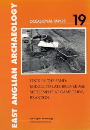
Excavations in 1999 at Brandon in Suffolk uncovered the remains of a sequence of middle to late Bronze Age enclosure ditches associated with a number of post-built structures, pits, hearths and three unurned cremations. Some late Neolithic activity was also detected. Of particular interest were an unusual Bronze Age square-ditched enclosure and evidence of `activity surfaces'.
Specialist finds reports examine the flint, the Neolithic and Bronze Age pottery, the small finds, human remains, animal bone, soils, waterlogged remains, pollen and charcoal. A final synthesis discusses the nature of this occupation landscape and the place in it of the funerary deposits.
Format: Paperback
Pages: 62
ISBN: 9780905594408
Pub Date: 31 Dec 2004
Series: East Anglian Archaeology Occasional Paper
Illustrations: 28 b/w figs
Description:
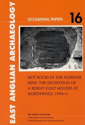
This paper reports on the excavation of a Bronze Age burnt mound discovered in a woodland clearing in the Fens. A number of waterlogged features were also found in association with it, including a pit containing wooden planks and Beaker pottery. Much of the paper focuses on the finds and environmental remains with specialist reports on the worked flint, pottery, faunal remains, plant remains, molluscs, soil and the tight sequence of radiocarbon dates.
The book also reports on the Neolithic features beneath the mound.
Format: Paperback
Pages: 131
ISBN: 9780905594415
Pub Date: 31 Dec 2004
Series: East Anglian Archaeology Monograph
Illustrations: 52 b/w figs, 36 tbsm 24 charts, 5 b/w pls
Description:
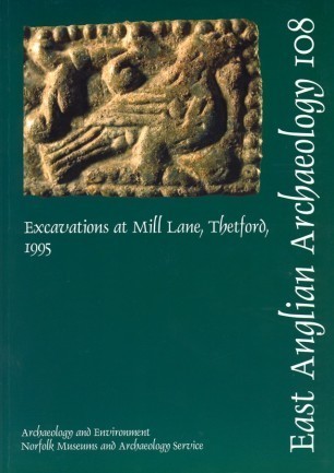
In 1995 a large-scale excavation was undertaken to the south of the Little Ouse in Thetford, in an area which had once been part of the Late Saxon settlement. Analysis of deposits from the river valley has given important new insights into local environmental conditions from the Bronze Age through to the Late Saxon period. The excavation results have added significantly to our understanding of Late Saxon Thetford, and confirmed that there was no earlier settlement in this part of the town.
That the success of Thetford as a large and influential town was fairly short-lived was reflected in the relatively brief main span of activity, which was mostly concentrated in the 10th to early 12th centuries. The evidence for occupation consisted of post-hole structures and sunken-featured buildings, rubbish pits and wells. As well as indicating domestic habitation, the artefactual evidence included waste products from the working of silver, copper alloy and iron. A number of hearths appear to have been associated with metalworking. Occupation continued, on a much smaller scale, in the 13th and 14th centuries, after which the area became open fields. The site remained open until light industrial development took place in the 20th century.
Format: Paperback
Pages: 583
ISBN: 9781852812423
Pub Date: 31 Dec 2004
Series: East Anglian Archaeology Monograph
Illustrations: many b/w pls, illus, figs, tbs
Description:
This is an account of the archaeological work begun in 1985 in response to the development of Stansted as Londons third airport. Originally it was conceived as a medieval landscape project, focusing on the three known sites in the area two of which were thought to be Domesday Manors supplemented by fieldwalking of the entire development area. By 1991 the fieldwalking programme, coupled with large-scale excavations and watching briefs, had transformed our understanding of the settlement landscape of north-west Essex, with the discovery of extensive archaeological deposits dating back to the Neolithic.
The earliest occupation was characterized by Neolithic flint work, and the earliest identified structures were Late Bronze Age/Early Iron Age, with one of the largest pottery collections of this date from Essex recovered from a single rubbish pit complex. Both enclosed and open settlements of Middle Iron Age date were excavated. One of these had an impressive entrance-way and substantial corner structures. A complete defended settlement of the Late Iron Age (75-25 BC) was recorded. It contained a sequence of roundhouses placed around a central square structure, interpreted as a shrine. There is evidence for internal planning of the enclosed space and for the economy of the settlement, including luxury imports. Roman settlement was represented by a series of sites with cobbled surfaces and enclosures, dating from the 1st to 4th centuries. A 1st to 2nd-century cremation cemetery comprised family groups of burials. Two of the burials contained spectacular grave goods including bronze, glass and pottery vessels as well as many other items. Environmental evidence demonstrated that agricultural activity continued in the Saxon period although no settlement sites were identified. Occupation flourished in the medieval period, with several sites containing buildings of 12th and 13th century date. The most important of these was a complete farmstead, including barn, dwelling-house, kitchen and byre. All of the medieval sites were abandoned in the late 13th to 14th century. Detailed analysis was undertaken on the upstanding post-medieval buildings, largely 17th century in origin, prior to their removal, and excavation of the below ground remains followed. The report ends by describing the construction of the Second World War airfield and its subsequent transformation as a major international airport.
Format: Paperback
Pages: 217
ISBN: 9780860552789
Pub Date: 31 Dec 2004
Series: East Anglian Archaeology Monograph
Illustrations: 15 b/w pls, 129 b/w figs, 45 tbs
Description:
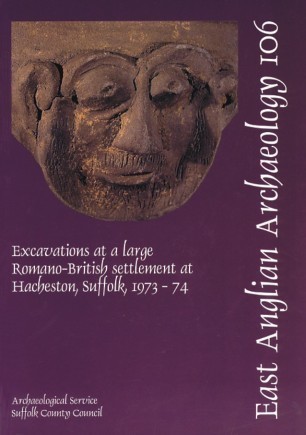
The construction of the Wickham Market bypass (A12) in Suffolk provided the opportunity to investigate more fully a Roman `small town' already known through fieldwalking, small-scale investigations, chance finds and metal detecting activities. This report publishes the findings from the 1973-74 geophysical survey and excavations at the site. The introduction provides a background history to the site which was first occupied before the Roman invasion and subsequently developed until the 4th century when it was abandoned.
Evidence for pottery manufacture and ironworking were detected from the nature and quantity of finds which are reported here alongside the coins, small finds and zoological data.
Format: Paperback
Pages: 74
ISBN: 9780860552802
Pub Date: 31 Dec 2004
Series: East Anglian Archaeology Occasional Paper
Illustrations: 6 b/w pls, 25 b/w figs, 20 tbs
Description:
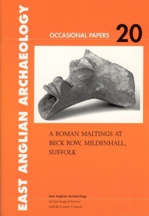
In 1998, in advance of housing development, a survey and later excavation (1999) were carried out at Beck Row near Mildenhall in Suffolk. With the aim of recovering environmental data and any archaeological features as well as investigating peat hollows and ditch systems, the excavation revealed further evidence dating from the late Iron Age and Roman periods. In particular a large timber aisled building of agricultural function, possibly a malt house, was revealed.
This report publishes the findings from the site and includes specialist reports on small finds, pottery, building materials, stone and flint artefacts, faunal and environmental data.
Format: Paperback
Pages: 33
ISBN: 9780860552796
Pub Date: 31 Dec 2004
Series: East Anglian Archaeology Monograph
Illustrations: 2 b/w pls, 13 b/w figs, 13 tbs
Description:
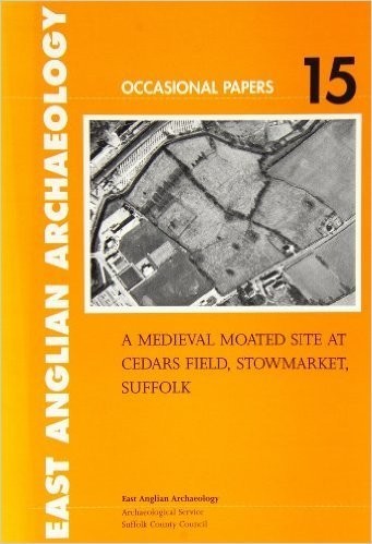
The medieval moated site at Cedars Wood was investigated in 1980 and 1999, revealing occupation evidence from the Neolithic and Bronze Age, Roman and medieval periods. The latter forms the focus of this report although other finds are listed. Occupied from the 12th to 14th century, the site is thought to have belonged to the Broughton family and comprised an area of approximately one acre enclosed by a shallow moat.
This report discusses the historical background to the site, the excavations and stratigraphy and the finds, revealing why the position and features at Cedars Field make it untypical of moated sites in the region. Summaries are given in English, French and German.


