Format: Paperback
Pages: 176
ISBN: 9781905119325
Pub Date: 30 Jun 2010
Illustrations: 3 illus
Description:
The environmental crisis is one of the most pressing concerns to face the population of the world today. The debate centres on the way in which our current problems are of recent making and how we might fix them. But in reality the issue is far more fundamental and stretches back further in time than many of us might think.
This book traces the origins of our present situation to the changes that came about with the introduction of farming to Britain 6000 years ago and the inexorable course of human development since then. This is a course which has set us on the path to catastrophe. However, there is hope. The book also looks at the much older traits from a way of life long gone in Britain, from the hunter-gatherers who lived here over the millennia before the introduction of farming. These traits, almost forgotten, but never quite lost, are now re-surfacing and may hold many of the keys to our continued existence.
Format: Hardback
Pages: 240
ISBN: 9781842173640
Pub Date: 04 May 2010
Illustrations: 111 b/w & colour illus, 15 tables
Description:
Over the last few years, the ways in which we perceive and document rock art have shifted irreversibly. Prehistoric rock art played little part in the development of British and Irish archaeology and was not recognised until the 19th century, when its equivalents in Scandinavia and the Iberian Peninsula were already well known. Previously considered a fringe activity and the work of amateur archaeologists, over the last 30 years the situation has improved considerably, and the appearance of books such as this signify the change.
This volume makes a powerful case for an archaeology that integrates rock art into a wider vision of the past. It brings together the experiences and informed opinions of the key organisations and stakeholders responsible for the conservation, management and accessibility of British rock art. An on-going and exciting period of change is documented here and the main issues that underpin the survival of our prehistoric carved heritage are addressed. Grouped into three sections, the chapters cover the recording, management and presentation of British rock art. The contributions illustrate the wide range of perceptions and approaches to the study, and the diversity of individuals and institutions who have become drawn into this fascinating subject, with independent researchers, heritage managers, artists and academics each bringing a unique perspective. This book aims to both inform new directions in rock art management strategies and provoke further initiatives through which these strategies can be implemented.
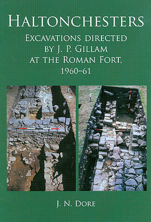
Format: Hardback
Pages: 128
ISBN: 9781842173602
Pub Date: 25 Mar 2010
Description:
This report presents the results of the excavations directed, in 1960 and 1961, by Mr J. P. Gillam within the fort at Haltonchesters.
The work was carried out in the area to the south of the B6318 Newcastle to Carlisle road and to the west of the lane which runs from the B6318 to Halton village. Within this area lie the western part of the central range of the fort, a section of the west wall of the fort (including the porta quintana ), the north end of the west half of the retentura and part of an annexe attached to the west side of the fort. After the death of J.P. Gillam in 1986, his plans, Finds Book and photographs were transferred to the Archive of the Department of Archaeology in Newcastle. The late John Dore carried out an evaluation of the archive material and stratigraphic analysis between 1990 and 1994 and a draft text was in existence by 1995. His work is presented in this volume, which serves as a memorial to J.P. Gillam and John Dore and their contribution to current understanding of Rome's frontier in northern Britain.
Format: Paperback
Pages: 64
ISBN: 9781901992878
Pub Date: 22 Jan 2010
Illustrations: col illus
Description:
The East London Line Project presented a unique opportunity, as structures were demolished and cleared for London's latest railway, to discover more about some of London's earliest railways. This included previously undiscovered parts of one of the world's first operational passenger railways, the Eastern Counties of 1840. The new construction led to important archaeological discoveries, particularly at the site of Holywell Priory and beneath Bishopsgate Goods Yard in Shoreditch.
The sparsely occupied hinterland of Roman London either side of Roman Ermine Street was used for occasional burials. Gradual medieval development came with the foundation of Holywell Priory on one side of Shoreditch High Street, contrasting with the outskirts of the village of Shoreditch lining the other, with open fields to the east. The growth of early post-medieval occupation, notably the earls of Rutland's Tudor mansion on the site of the priory, followed the Dissolution. The spread of the suburbs from the 17th century onwards encouraged large-scale quarrying of brickearth and brickmaking on the expanding periphery of new settlement, east of Shoreditch High Street. By the mid 18th century the character of the area had completely changed and it was covered with suburban housing. In the early 19th century, the railway cut through the area and continued to develop and expand throughout the century.
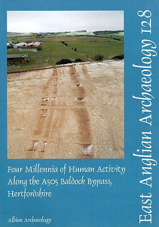
Format: Paperback
Pages: 200
ISBN: 9780955654626
Pub Date: 31 Dec 2009
Series: East Anglian Archaeology Monograph
Description:
This report presents the results of archaeological investigations undertaken in 20035 along the 6km route of the A505 Baldock bypass, Hertfordshire. The evidence spans the late Neolithic to the medieval period, although no evidence for activity from the later 5th century to the beginning of the 11th century was found. The late Neolithic evidence was dispersed across the route corridor and comprised bowl-shaped pits, shaft-like pits and a small funerary enclosure.
Early Bronze Age activity was restricted to the northern portion of the route and included a small roundhouse and a cluster of seven barrows. These barrows subsequently became the focus of burial activity in the late Iron Age and earlier Roman period. Evidence for early to middle Iron Age activity was concentrated on the Clay-with-flints soils of the Weston Hills. It comprised clusters of pits and occasional post-holes which were grouped into a series of activity areas. The pottery recovered hints at a chronological shift from north to south. These activity areas are thought to represent evidence for more permanent settlement, although the actual dwellings are assumed to lie outside the route corridor. Roman boundary ditches and enclosures were found across most of the route corridor. Although evidence is somewhat piecemeal, there does appear to have been a reorganisation of the land boundaries, evidenced by infilling of later Iron Age boundaries and the excavation of new boundaries along a different alignment. Dominating the evidence for the Roman period were two roadways, each displaying a sequence of maintenance and repair. Both roadways lead into the Roman town of Baldock and both were on a similar alignment. A study of the repair sequences and associated finds suggests that a continuing problem of drainage and silting on one road led to the construction of a slightly realigned replacement. Evidence for medieval settlement was confined to the northern portion of the route corridor, and included a rectangular enclosure containing a cemetery, pits and post-holes, with evidence of a hollow way running along the western side of the enclosure. Analysis of documentary evidence strongly suggests that this enclosure can be identified as the 13th-century Hospital of St Mary Magdalene in the parish of Clothall. Woodland clearance along the route appears to have been complete by the early Bronze Age, with the earlier landscape probably a patchwork of woodland, pasture and cultivated fields. This clearance appears to be associated with a reduction in the numbers of pigs kept by the Bronze Age farmers, and the development of a pastoral economy based upon cattle and sheep. Much of the route from later prehistory onwards has been open calcareous grasslands, probably well grazed by sheep, which became increasingly important in the local economy; much of the wealth of medieval Baldock derived from wool.
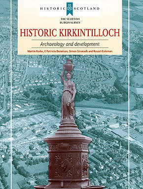
Format: Paperback
Pages: 91
ISBN: 9781902771588
Pub Date: 31 Dec 2009
Series: Scottish Burgh Survey
Illustrations: b/w illus, fold out plan
Description:
This survey offers an accessible and broad-ranging synthesis of the history and archaeology of Kirkintilloch, Dunbartonshire, and aims to inform conservation guidance for future development. Kirkintilloch lies at a key point in Scotlands central belt. Here, by accident of geography, the Antonine Wall, ancient and modern route ways and the Forth and Clyde Canal pass within yards of each other.
Here also, iron founding was added to the linen and cotton weaving industry giving Kirkintilloch an important role in Scotlands nineteenth-century economic development. The town has benefited from archaeological investigations in advance of development, and those designed to enhance our knowledge of the Antonine Wall. The authors consider where the areas of archaeological potential lie, in order to inform future management of Kirkintillochs historic environment, and pose questions about the evolution of Scotlands burghs.
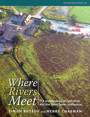
Format: Paperback
Pages: 180
ISBN: 9781902771786
Pub Date: 31 Dec 2009
Illustrations: col illus
Description:
This book is the story of an area of landscape in the English Midlands from earliest prehistory to around AD 900. Although it looks like a typical rural landscape, archaeological research, much of it in advance of quarrying, has revealed that this area has a long and remarkable history of occupation stretching back to the Ice Age. In particular at Catholme the project has revealed spectacular monuments from the Neolithic and Bronze Age (including a 'woodhenge-type' monument, a 'sunburst' monument and a cursus) that represent a regional expression of the monumental traditions of the age of Stonehenge.
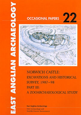
Format: Paperback
Pages: 188
ISBN: 9780905594507
Pub Date: 18 Dec 2009
Series: East Anglian Archaeology Occasional Paper
Illustrations: 145 illus
Description:
In the 1980s work began on construction of the vast underground Castle Mall shopping centre in Norwich. The associated archaeological excavation was one of the largest of its kind in northern Europe, designed to investigate not only the castle bailey but also pre-Conquest settlement and, for the post-Conquest period, areas of the surrounding medieval city. Although Parts I and II both contain summary accounts of the faunal remains, setting them into their wider context and including additional information on craft activities, the scale of the data made publication of a separate and more specialised report on the faunal remains desirable and this is published here as Part III.
Format: Paperback
Pages: 62
ISBN: 9780905594514
Pub Date: 18 Dec 2009
Series: East Anglian Archaeology Occasional Paper
Illustrations: 3 illus
Description:
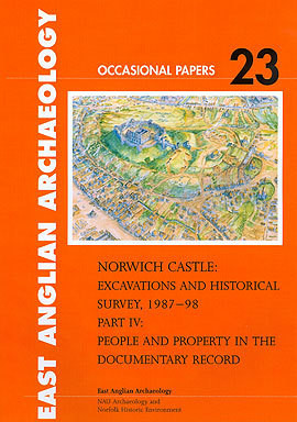
In the 1980s work began on construction of the vast underground Castle Mall shopping centre in Norwich. The associated archaeological excavation was one of the largest of its kind in northern Europe, designed to investigate not only the castle bailey but also pre-Conquest settlement and, for the post-Conquest period, areas of the surrounding medieval city. Documentary evidence that supplements the substantial data presented in the monograph (parts I and II) forms Part IV (EAA occasional paper 23), published separately because of the scale of the data and because it forms a rounded resource in its own right.
It provides additional data on medieval and later properties around the entire circuit of the Castle Fee, permitting ease of access to information that might otherwise have been obscured within the complexity of the integrated monograph.
Format: Paperback
Pages: 260
ISBN: 9780954482480
Pub Date: 03 Dec 2009
Imprint: Cambridge Archaeological Unit
Description:
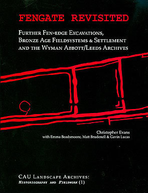
At its core, this volume reports upon three large-scale excavations at Fengate, Peterborough. These cast new light on Briton's premier Bronze Age fieldsystem and their results lead to significant reappraisal of facets of Pryor's earlier interpretations and, also, approaches to the period's land-use generally. Reflecting upon such crucial issues as the character of settlement, landholding/territory and power, their discussion is furthered by the book's summary presentation of other recent prehistoric fieldsystems projects within the East Anglian Fenlands.
Indeed, greater contextual overview is provided by an in-depth interview contribution by the 'Fieldsystem Triumvirate' of the '70/80s: Richard Bradley, Andrew Fleming and Francis Pryor himself. In keeping with its series' groundbreaking directive of 'Historiography and Fieldwork', having access to Wyman Abbott's archival sources (augmented by his correspondence with E.T. Leeds), for the first time, his early 20th century investigations can now be fully incorporated with subsequent excavations. This historiographic perspective allows, moreover, for unique insights into Edwardian archaeological practices, particularly the impact of type-based methodologies - pots, pits and peoples - and even the lingering influence today of prehistoric 'type cultures' concepts.
Format: Paperback
ISBN: 9780954293888
Pub Date: 01 Dec 2009
Imprint: Pre-Construct Archaeology
Description:
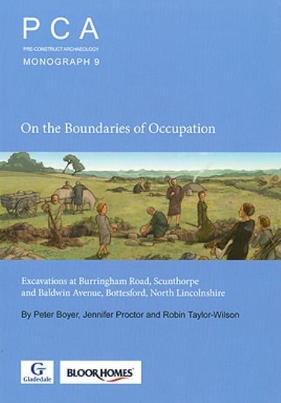
Excavations at two sites in the southern suburbs of the modern industrial town of Scunthorpe, originally a rural landscape with a scatter of villages overlooking the River Trent and its tributary, Bottesford Beck. Finds of flint tools show that humans had been around throughout prehistory; by the late Iron Age the Burringham Road site probably lay at the southern limit of a settlement, and for much of the Roman period there is evidence of various activities, mostly agriculture-related, and including several corn-driers; perhaps there was a villa nearby. The Baldwin Avenue site shows evidence of a Middle Saxon settlement with notable artefacts being three large lead vessels of a type that seems peculiar to the region.
The title of the report reflects the fact that these two sites are peripheral to larger complexes, but nevertheless provide good information about them.
Format: Hardback
Pages: 428
ISBN: 9780954962791
Pub Date: 02 Nov 2009
Series: Thames Valley Landscapes Monograph
Description:
In common with other volumes in the Thames Through Time series, this account of the Thames Valley in the millennium and a half before the Roman conquest seeks to examine change in human society from a thematic point of view. The geographical and chronological framework for this volume is established in Chapters 1 and 2, but thereafter we have tried to get away from the traditional, somewhat artificial pigeon-holes of 'periods' 'ages' 'eras' and 'phases' to look much harder at how change in human society actually works. In a period when the 20th century has come to dominate secondary school history and much popular TV, the notion that the first foundations of modern society can be traced back more than 3000 years may seem a rather surprising proposition.
But some fundamental patterns of settlement and landuse, political boundaries, human impact on the environment, and even the specific use and form of a few places can be traced back to late prehistoric times despite millennia of subsequent change - even though otherwise we may now have very little in common with those remote ancestors. Exploring these issues on a thematic basis should help us to gain a better understanding of how human society evolves and also of how people have altered their natural environment, providing a better long term perspective on what we are doing to the planet.
Format: Paperback
Pages: 158
ISBN: 9780954293895
Pub Date: 28 Oct 2009
Imprint: Pre-Construct Archaeology
Description:
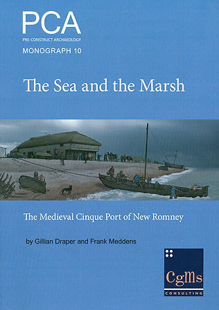
Today New Romney sits a couple of miles inland from the sea but, in common with many towns along this stretch of coast, was once a thriving seaport. Archaeological excavations here by Pre-Construct Archaeology identified evidence for medieval occupation, fishing and seafaring on the foreshore at the northeastern end of the town. This strand area was ravaged by storms, particularly during the 13th century and this is clearly demonstrated in the archaeological record.
This publication presents the findings of these excavations but also provides a much broader historical background to the town and an exploration of its role as a Cinque Port, and its relationship with the strand area investigated, through contemporary sources and standing building evidence.
Format: Paperback
Pages: 232
ISBN: 9781905119271
Pub Date: 25 Aug 2009
Illustrations: col illus throughout
Description:
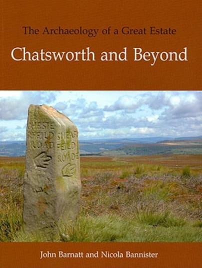
The Peak District is a historic upland landscape, with a rich palimpsest of features which invoke the many generations of people who have inhabited the area. The great estate of Chatsworth reflects the Peak in microcosm. Its landscapes are diverse and contain many exceptional features including archaeological earthworks of medieval open fields and later enclosures in the park, and prehistoric stone circles, barrows, fields and settlements on the Estate moorlands.
This book tells the story of the historic landscape and its archaeology; it is a companion volume to Chatsworth: A Landscape History (Barnatt & Williamson), but in contrast to that book includes the whole of the Estate landscape, including the extensive farmland and moorlands beyond the park and concentrates on visible archaeology and what it can tell us about the past. The result is a fascinating in-depth portrait of one of the major estates in Britain.
Format: Paperback
Pages: 152
ISBN: 9780954293871
Pub Date: 27 Jul 2009
Imprint: Pre-Construct Archaeology
Description:
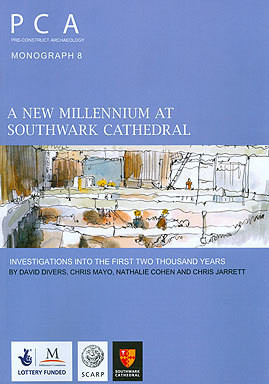
This volume presents the story of 2000 years of occupation around Southwark Cathedral as demonstrated by a combination of building recording and archaeological excavation. The story begins in the first years of Roman occupation, with the construction of a road heading southwest from a crossing point of the Thames, close to modern London Bridge. The story of the foundation, construction and subsequent history of the medieval priory of St Mary Overie is then explored and presented in the form of a tour through the Cathedral and out into the claustral buildings.
Throughout the post-medieval period industry spread along the south bank of the Thames, encroaching on the church and its environs, which suffered periods of neglect, including 16th-century use of the retro-choir as a bakery and pigsty. By the early 17th century a Delftware kiln had been constructed adjacent to the north transept of the church and the kilns, their products and methods of manufacture are all presented in detail. The volume concludes with the architects vision for the future of the Cathedral, which also provides a guide to surviving archaeological remains on display around the Cathedral, including those of the kiln.
Format: Hardback
Pages: 144
ISBN: 9781905119295
Pub Date: 15 Jun 2009
Illustrations: 148 col & b/w illus
Description:
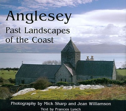
The dramatic and stunning Welsh coastal landscapes of the island of Anglesey are documented in this beautiful pictorial record of the history of Anglesey's coast, from prehistoric times to the present day. The fact that Anglesey is an island has been crucial to its history, its coast the scene of prehistoric fishing and oyster catching, Neolithic tombs and Bronze Age round barrows, Roman influenced villas, Irish incursions, a Norman motte and the last of the great Edwardian castles to be built at Beaumaris, the development of Holyhead into its main port in the nineteenth century, and the growth of sustainable energy in the form of wind turbines in the twentieth. The photography taken by Mick Sharp and Jean Williamson is supplemented by text by Frances Lynch who introduces each chapter and provides detailed captions describing and providing background information to the photographs.


