Format: Paperback
Pages: 350
ISBN: 9780993454585
Pub Date: 01 Jun 2022
Series: East Anglian Archaeology Monograph
Illustrations: 173
Description:
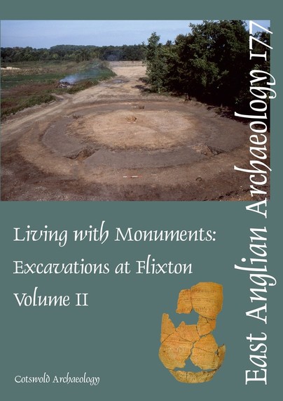
Flixton Park Quarry lies in Suffolk on the south side of the Waveney Valley, on land that has been subject to aggregate extraction for many decades. Historically there was virtually no archaeological recording but the areas opened up since 1995 have all been subject to formal archaeological excavation under the auspices of archaeological planning guidance. The river terrace gravels of lowland Britain have historically provided a rich source for mineral extraction and aerial photography is often the only surviving record of large tracts of archaeological landscape that were destroyed before it became the legal responsibility of quarry operators to provide for archaeological work.
Clearly, these multi-period landscapes are a finite and dwindling resource and it is essential to glean as much information as possible in advance of their development-led destruction. The significance of the Flixton Quarry site is not necessarily that the archaeology is unique, indeed aerial photographs often suggest a similar range of both funerary and settlement remains elsewhere, but the opportunities to excavate such large areas do not often occur. The extensive prehistoric archaeology in this volume is dominated by monumental structures of the Early Neolithic (long barrow) and Early Bronze Age (ring-ditches). There were small clusters of unurned cremations of Middle Bronze Age date, a period which may also have seen the initiation of an extensive rectilinear field system. Settlement evidence from the Late Bronze Age included circular timber buildings and also four- or six-post square and rectangular structures that continued to be built into the Early Iron Age.Significant Iron Age/Roman remains included three post-built structures probably representing large granaries (horrea), two pottery kilns and a multiple burial, the latter dated artefactually and by radiocarbon dating to the 1st century AD. Metalwork finds hint at military contact at this time. The Early Anglo-Saxon period is represented at Flixton by two cemeteries (published as Volume I, Boulter and Walton Rogers 2012) and the settlement described here in Volume II. Structural evidence included post-built ‘halls’ and sunken-featured buildings. Artefactual dating suggests the occupation was broadly contemporary with the cemeteries and may have been directly associated.Medieval features were limited to a rectangular enclosure with an entrance to the south that contained a small square enclosure with a central pit. Post-medieval deposits were dominated by ditched field boundaries many of which could be related directly to map evidence and to the farmland and the park surrounding Flixton Hall. WWI training trenches and latrine pits were also recorded.
Format: Paperback
Pages: 300
ISBN: 9780905594576
Pub Date: 31 May 2022
Series: East Anglian Archaeology Monograph
Illustrations: 112
Description:
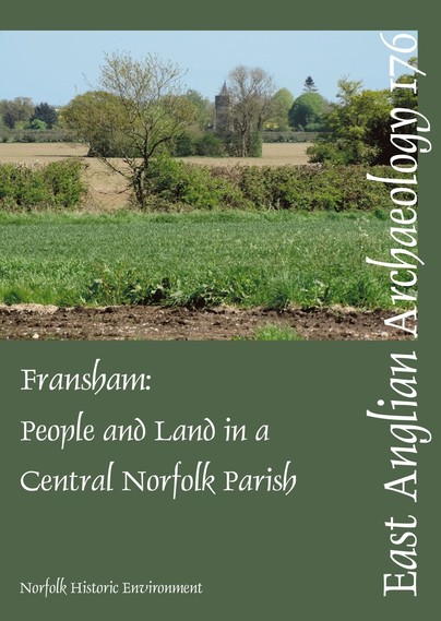
Fransham: people and land attempts to illustrate, and where possible explain, the many great changes in settlement pattern and land-use that took place in one Norfolk clayland parish from the Neolithic to the post-medieval period. Archaeological evidence, derived almost entirely from non-invasive fieldwork, is combined with that drawn from the historical sources which begin with the Domesday Book of 1086.
Format: Hardback
Pages: 176
ISBN: 9780904220810
Pub Date: 28 May 2022
Series: Oxford Archaeology Monograph
Illustrations: 101
Description:
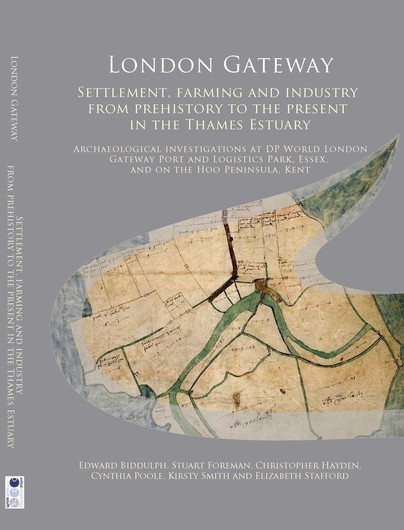
Archaeological investigations were carried out by Oxford Archaeology between 2008 and 2016 within DP World London Gateway Port and Logistics Park near Stanford-le-Hope in Essex and on the site of a compensatory wildlife habitat on the Hoo Peninsula in Kent. Some 40 sites were the subject of some form of archaeological assessment, and of these, 16 contained significant archaeological remains or were otherwise important to the understanding of the area. The combined evidence paints a picture of life on the edge of the Thames Estuary from early prehistory to the 20th century.
The discoveries show how the area has attracted settlers, farmers and traders since prehistory. People came to the marshes in Mesolithic and Neolithic times, perhaps on a seasonal basis, to hunt, and gather plants and seafood. In the late Bronze Age, Iron Age and Roman periods, people trapped seawater to extract salt, a valuable commodity used for food preservation. In the medieval period, the marshland offered unrivalled pasture for the sheep and cattle belonging to upland farms on the gravel terraces. Over time, the marshes were drained to increase the pasture and the value of the farming estates. The creeks that snaked through the marshes were a means of communication and trade. A timber wharf, built in the 16th century, was recorded on the edge of one such creek. In modern times, the sparsely populated area proved an ideal location for the establishment of oil refineries and other industries, positioning London Gateway at the heart of British trade. The area has also inspired artists, writers and filmmakers. This volume joins two others - London Gateway: Maritime Archaeology in the Thames Estuary and London Gateway: Iron Age and Roman Salt Making in the Thames Estuary - that explore the archaeology and heritage of the London Gateway site.
Format: Paperback
Pages: 220
ISBN: 9780904220889
Pub Date: 15 Apr 2022
Series: Oxford Archaeology Monograph
Illustrations: 111
Description:
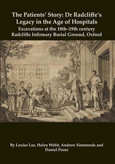
Excavations at the site of the burial ground of the old Radcliffe Infirmary, Oxford, revealed the largest assemblage of individual burials yet recovered from an 18th/19th century hospital site in Britain. Founded in 1770 with funds from the estate of the Royal physician and MP John Radcliffe, the infirmary was rare in having its own dedicated burial ground. The skeletons span a short period of time, between 1770 and 1852, and comprise patients who had not been claimed for burial in their home parish.
Virtually all of them are unidentified, but documentary evidence shows that they comprise members of the labouring and middle classes, most of whom had originated from the locality and the surrounding counties. Their bones provide an important perspective on the health of industrialising post-medieval populations, characterised by high rates of trauma and disease. They highlight the hitherto unrecognised role that the operating theatre and mortuary played in the development of medical education in Oxford. Further, they offer a unique and fascinating perspective on early modern hospital care, surgery and burial, from a period when hospitals underwent a radical transformation, becoming the medically-focused institutions that we know today.
Format: Paperback
Pages: 208
ISBN: 9781789258059
Pub Date: 15 Feb 2022
Illustrations: Colour
Description:
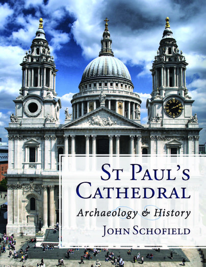
This is the first volume concerned solely with the archaeology of a major late 17th-century building in London, and the major changes it has undergone. St Paul's Cathedral in the City of London was built in 1675–1711 to the designs of Sir Christopher Wren and has been described as an iconic building many times. In this major new account, John Schofield examines the cathedral from an archaeological perspective, reviewing its history from the early 18th to the early 21st century, as illustrated by recent archaeological recording, documentary research and engineering assessment.
A detailed account of the construction of the cathedral is provided based on a comparison of the fabric with voluminous building accounts which have survived and evidence from recent archaeological investigation. The construction of the Wren building and its embellishments are followed by the main works of later surveyors such as Robert Mylne and Francis Penrose. The 20th century brought further changes and conservation projects, including restoration after the building was hit by two bombs in World War II, and all its windows blown out. The 1990s and first years of the present century have witnessed considerable refurbishment and cleaning involving archaeological and engineering works. Archaeological specialist reports and an engineering review of the stability and character of the building are provided.
Format: Hardback
Pages: 200
ISBN: 9781789256970
Pub Date: 15 Dec 2021
Illustrations: B/w and colour
Description:
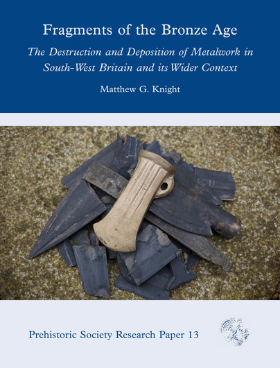
The destruction and deposition of metalwork is a widely recognised phenomenon across Bronze Age Europe. Weapons were decommissioned and thrown into rivers; axes were fragmented and piled in hoards; and ornaments were crushed, contorted and placed in certain landscapes. Interpretation of this material is often considered in terms of whether such acts should be considered ritual offerings, or functional acts for storing, scrapping and recycling the metal.
This book approaches this debate from a fresh perspective, by focusing on how the metalwork was destroyed and deposited as a means to understand the reasons behind the process. To achieve this, this study draws on experimental archaeology, as well as developing a framework for assessing what can be considered deliberate destruction. Understanding these processes not only helps us to recognise how destruction happened, but also gives us insights into the individuals involved in these practices. Through an examination of metalwork from south-west Britain, it is possible to observe the complexities involved at a localised level in the acts of destruction and deposition, as well as how they were linked to people and places. This case study is used to consider the social role of destruction and deposition more broadly in the Bronze Age, highlighting how it transformed over time and space.
Format: Hardback
Pages: 320
ISBN: 9781789257472
Pub Date: 10 Dec 2021
Illustrations: B/w and colour
Description:
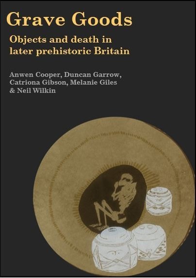
Britain is internationally renowned for the high quality and exquisite crafting of its later prehistoric grave goods (c. 4000 BC to AD 43). Many of prehistoric Britain's most impressive artefacts have come from graves.
Interred with both inhumations and cremations, they provide some of the most durable and well-preserved insights into personal identity and the prehistoric life-course, yet they also speak of the care shown to the dead by the living, and of people’s relationships with 'things'. Objects matter. This book's title is an intentional play on words. These are objects in burials; but they are also goods, material culture, that must be taken seriously. Within it, we outline the results of the first long-term, large-scale investigation into grave goods during this period, which enables a new level of understanding of mortuary practice and material culture throughout this major period of technological innovation and social transformation. Analysis is structured at a series of different scales, ranging from macro-scale patterning across Britain, to regional explorations of continuity and change, to site-specific histories of practice, to micro-scale analysis of specific graves and the individual objects (and people) within them. We bring these different scales of analysis together in the first ever book focusing specifically on objects and death in later prehistoric Britain. Focusing on six key case study regions, the book innovatively synthesises antiquarian reports, research projects and developer funded excavations. At the same time, it also engages with, and develops, a number of recent theoretical trends within archaeology, including personhood, object biography and materiality, ensuring that it will be of relevance right across the discipline. Its subject matter will also resonate with those working in anthropology, sociology, museology and other areas where death, burial and the role of material culture in people’s lives are key contemporary issues.
Format: Paperback
Pages: 240
ISBN: 9781911188964
Pub Date: 15 Nov 2021
Illustrations: B/w and colour
Description:
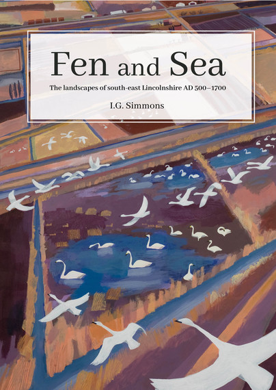
Renowned environmental historian I.G. Simmons synthesises detailed research into the landscape history of the coastal area of Lincolnshire between Boston and Skegness and its hinterland of Tofts, Low Grounds and Fen as far as the Wolds.
With many excellent illustrations Simmons chronicles the ways in which this low coast, backed by a wet fen, has been managed to display a set of landscapes which have significant differences that contradict the common terminology of uniformity, calling the area 'flat' or referring to everywhere from Cleethorpes to King's Lynn as 'the fens'.These usually labelled 'flat' areas of East Lincolnshire between Mablethorpe and Boston are in fact a mosaic of subtly different landscapes. They have become that way largely due to the human influences derived from agriculture and industry. Between the beginning of Norman rule and the advent of pumped drainage, a number of significant changes took place.The author has accumulated information from Roman times until the beginnings of fossil-fuel powered drainage, bringing together both scientific data and documentary evidence including medieval and early modern documents from the National Archive, Lincolnshire Archives, Bethlem Hospital and Magdalen College, Oxford, to explore the little-known archives of regional interest.
Format: Paperback
Pages: 272
ISBN: 9781914427008
Pub Date: 15 Nov 2021
Illustrations: B/w and colour
Description:
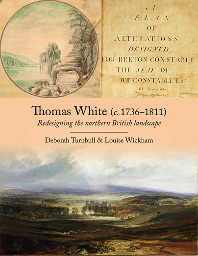
This volume aims to restore the reputation of Thomas White, who in his time was as well respected as his fellow landscape designers Lancelot 'Capability' Brown and Humphry Repton. By the end of his career, he had produced designs for at least 32 sites across northern England and over 60 in Scotland. These include nationally important designed landscapes in Yorkshire such as Harewood House, Sledmere Hall, Burton Constable Hall, Newby Hall, Mulgrave Castle as well as Raby Castle in Durham, Belle Isle in Cumbria and Brocklesby Hall in Lincolnshire.
He has a vital role in the story of how northern English designed landscapes evolved in the 18th century.The book focuses on White's known commissions in England and sheds further light on the work of other designers such as Brown and Repton, who worked on many of the same sites. White set up as an independent designer in 1765, having worked for Brown from 1759, and his style developed over the next thirty years. Never merely a 'follower of Brown', as he is often erroneously described, his designs for plantations in particular were much admired and influenced the later, more informal styles of the picturesque movement. The improvement plans he produced for his clients demonstrate his surveying and artistic skills. These plans were working documents but at the same time works of art in their own right. Over 60 of his beautifully-executed coloured plans survive, which is a testament to the value his clients placed on them. This book makes available for the first time over 90% of the known plans and surveys by White for England. Also included are plans by White's contemporaries, together with later maps, estate surveys and contemporary illustrations to understand which parts of improvement plans were implemented.
Format: Hardback
Pages: 336
ISBN: 9781909990043
Pub Date: 30 Sep 2021
Series: CBA Research Report
Illustrations: 249 illustrations
Description:
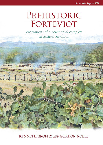
A detailed report on the excavation of prehistoric features at Forteviot in eastern Scotland by the University of Glasgow's Strathearn Environs and Royal Forteviot (SERF) Project. Details include an extensive prehistoric landscape including a Neolithic cremation cemetery, large pit-defined enclosure, early Bronze Age henge monuments, and a Bronze Age dagger-cist burial. The monuments appear to have survived into the early historic period and were modified in the first millennium AD.
Format: Hardback
Pages: 272
ISBN: 9781909990050
Pub Date: 30 Sep 2021
Series: CBA Research Report
Illustrations: 163 illustrations
Description:
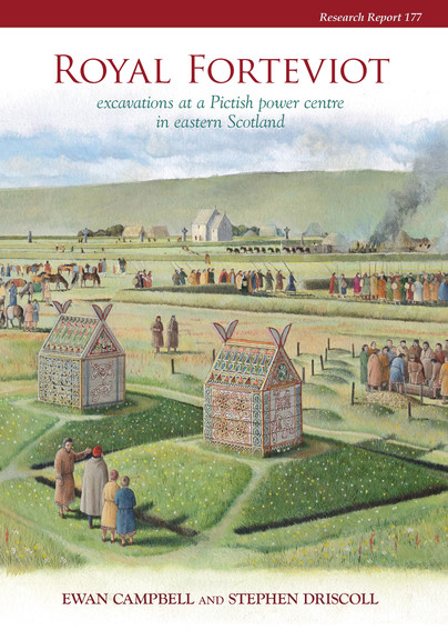
A detailed report on excavation of early historic features at Forteviot in eastern Scotland by the University of Glasgow's Strathearn Environs and Royal Forteviot (SERF) Project. Features include a potential royal palace and early church, with a discussion of their relationship with prehistoric remains. This report also includes a detailed analysis of early medieval sculpture from the Forteviot area.
Format: Hardback
Pages: 296
ISBN: 9781789256239
Pub Date: 15 Sep 2021
Illustrations: B/w
Description:
Winchester’s identity as a royal centre became well established between the ninth and twelfth centuries, closely tied to the significance of the religious communities who lived within and without the city walls. The reach of power of Winchester was felt throughout England and into the Continent through the relationships of the bishops, the power fluctuations of the Norman period, the pursuit of arts and history writing, the reach of the city’s saints, and more. The essays contained in this volume present early medieval Winchester not as a city alone, but a city emmeshed in wider political, social, and cultural movements and, in many cases, providing examples of authority and power that are representative of early medieval England as a whole.
Format: Hardback
Pages: 224
ISBN: 9781789257519
Pub Date: 10 Sep 2021
Illustrations: B/w and colour
Description:
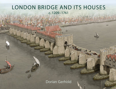
London Bridge lined with houses from end to end was one of the most extraordinary structures ever seen in London. It was home to over 500 people, perched above the rushing waters of the Thames, and was one of the city’s main shopping streets. It is among the most familiar images of London in the past, but little has previously been known about the houses and the people who lived and worked in them.
This book uses plentiful newly-discovered evidence, including detailed descriptions of nearly every house, to tell the story of the bridge and its houses and inhabitants. With the new information it is possible to reconstruct the plan of the bridge and houses in the seventeenth century, to trace the history of each house back through rentals and a survey to 1358, revealing the original layout, to date most of the houses which appear in later views, and to show how the houses and their occupants changed during five and half centuries. The book describes what stopped the houses falling into the river, how the houses were gradually enlarged, what their layout was inside, what goods were sold on the bridge and how these changed over time, the extensive rebuilding in 1477-1548 and 1683-96, and the removal of the houses around 1760.There are many new discoveries - about the structure of the bridge, the width of the roadway, the original layout of the houses, how the houses were supported, the size and internal planning of the houses, the quality of their architecture, and the trades practised on the bridge. The book includes five newly-commissioned reconstruction drawings showing what we now know about the bridge and its houses.
Format: Hardback
Pages: 568
ISBN: 9781789256932
Pub Date: 15 Aug 2021
Series: Sheffield Environmental and Archaeological Research Campaign in the Hebrides
Illustrations: Colour
Description:
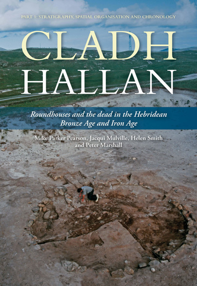
This first of two volumes presents the archaeological evidence of a long sequence of settlement and funerary activity from the Beaker period (Early Bronze Age c. 2000 BC) to the Early Iron Age (c. 500 BC) at the unusually long-occupied site of Cladh Hallan on South Uist in the Western Isles of Scotland.
Particular highlights of its sequence are a cremation burial ground and pyre site of the 18th–16th centuries BC and a row of three Late Bronze Age sunken-floored roundhouses constructed in the 10th century BC. Beneath these roundhouses, four inhumation graves contained skeletons, two of which were remains of composite collections of body parts with evidence for post-mortem soft tissue preservation prior to burial. They have proved to be the first evidence for mummification in Bronze Age Britain. Cladh Hallan's remarkable stratigraphic sequence, preserved in the machair sand of South Uist, includes a unique 500-year sequence of roundhouse life in Late Bronze Age and Iron Age Britain. One of the most important results of the excavation has come from intensive environmental and micro-debris sampling of house floors and outdoor areas to recover patterns of discard and to interpret the spatial use of 15 domestic interiors from the Late Bronze Age to the Early Iron Age. From Cladh Hallan’s roundhouse floors we gain intimate insights into how daily life was organized within the house - where people cooked, ate, worked and slept. Such evidence rarely survives from prehistoric houses in Britain or Europe, and the results make a profound contribution to long-running debates about the sunwise organisation of roundhouse activities. Activity at Cladh Hallan ended with the construction and abandonment of two unusual double-roundhouses in the Early Iron Age. One appears to have been a smokery and steam room, and the other was used for metalworking.
Format: Paperback
Pages: 288
ISBN: 9781914427046
Pub Date: 10 Aug 2021
Illustrations: B/w and colour
Description:
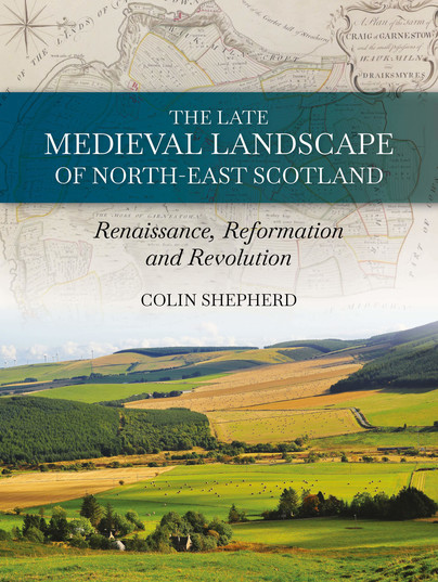
The landscape of the north-east of Scotland ranges from wild mountains to undulating farmlands; from cosy, quaint fishing coves to long, sandy bays. This landscape witnessed the death of MacBeth, the final stand of the Comyns earls of Buchan against Robert the Bruce and the last victory, in Britain, of a catholic army at Glenlivet. But behind these momentous battles lie the quieter histories of ordinary folk farming the land - and supping their local malts.
Colin Shepherd paints a picture of rural life within the landscapes of the north-east between the 13th and 18th centuries by using documentary, cartographic and archaeological evidence. He shows how the landscape was ordered by topographic and environmental constraints that resulted in great variation across the region and considers the evidence for the way late medieval lifestyles developed and blended sustainably within their environments to create a patchwork of cultural and agricultural diversity. However, these socio-economic developments subsequently led to a breakdown of this structure, resulting in what Adam Smith, in the 18th century, described as 'oppression'. The 12th-century Renaissance, the Protestant Reformation and the Industrial Revolution are used here to define a framework for considering the cultural changes that affected this region of Scotland. These include the dispossession of rights to land ownership that continue to haunt policy makers in the Scottish government today. Whilst the story also shows how a regional cultural divergence, recognised here, can undermine 'big theories' of socio-political change when viewed across the wider stage of Europe and the Americas.
Format: Hardback
Pages: 168
ISBN: 9781911188926
Pub Date: 15 Jul 2021
Illustrations: Colour
Description:
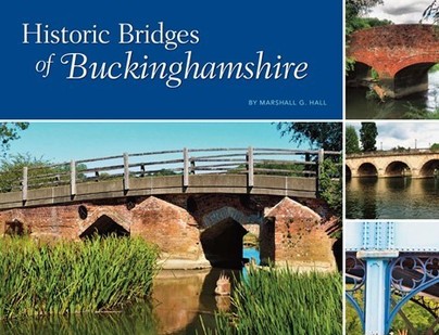
Bridges have always played an important role on the social and economic history of human development, and Buckinghamshire has a great wealth of them. Trade systems and road networks must solve the challenges of geography’s waterways, and bridges, causeways, fords, and flood systems were necessarily a key aspect of the experience of historical travel. Bridges and river crossings anchored the Buckinghamshire road network in the landscape, and once established it proved remarkably durable.
Settlements, villages, and eventually cities have traditionally sprung up at bridgeheads or where a river could be crossed at any time of the year. Some examples in Buckinghamshire are Newport Pagnell, Buckingham, and Cookham. The most ancient, vital, and interesting architectural structures linked to use of these crossings are bridges, and people hold a deep fascination for them. There are literally thousands of bridges in Buckinghamshire, varying vastly in size, style, and materials. Many are stone, a few are wooden, and thereare numerous brick and more modern steel and concrete constructions. The bridges featured in this book are more than 100 years old, mostly lie on public roads or rights-of way, are publicly accessible, and have a significant proportion of the original bridge intact. Through colour photographs, stories, and historical facts, this book looks at the wonderful historic bridges that make up the chronology of Buckinghamshire.


